

-10%
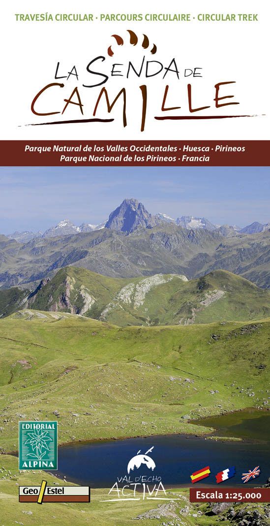
ed. alpina Mapa La Senda de Camille 1:25000
.
.
We're sorry, but this product is currently out of stock. Click here to see other similar products.
-
 Free click and collect
-
 Finance your purchase
Features ed. alpina mapa la senda de camille 1:25000
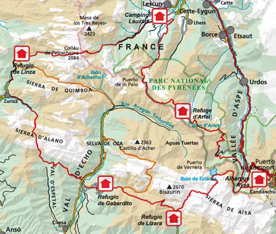
The Senda de Camille runs through spectacular landscapes of the Valles Occidental Natural Park. Following in the footsteps of Camille, one of the last native bears who had their natural habitat in this area, you will be able to discover a unique part of the Pyrenean mountain range. This journey has along the route a network of shelters equipped so that rest at each stage is also another incentive on the route.The information offered will allow you to choose the starting point, the direction of travel, the ascent to any of the beautiful peaks such as Petrachema, Agujas d & # 39; Ansabere, Castillo d & # 39; Acher, Agüerri, Bisaurín or Acué and visit places like the lakes of Estanés and Arlet, Valle de los Sarrios, Bosque de las Hayas, the Garganta del Aspe or the Lescún circus. In short, enjoy the natural wealth of these valleys.
The Senda de Camille is a journey with an average of six hours of walking per stage, which requires good physical condition, a minimum technical level and orientation ability (interpretation of maps, compass management ...).
Features:
- Publisher: Alpina
- Scale: 1: 25,000
Discover more products