

ed. piolet Mapa Ruta del Cister 1:30000
9.00 €
Estimated delivery 29 Apr 2024
.
.
-
 Free click and collect
-
 Finance your purchase
Features ed. piolet mapa ruta del cister 1:30000
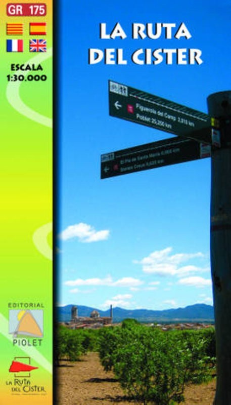
A hiking and trekking map of the Cistercian route (La ruta del Cister), in Catalunya. In English, Spanish, Catalan & German.
Hiking & trekking map of the Cistercian route (La ruta del Cister), in Catalunya. Includes descriptions of the GR-175 walking route and its alternative MTB routes and connecting routes to the GR 171 & PR-C routes.This Catalan route, which passes through the three counties of Alt Camp, Conca de Barberà, and Urgell, is one of the most important cultural tourist itineraries in Catalonia. It links three of Catalonia´s Cistercian monasteries together: Santes Creus, Poblet, and Vallbona de les Monges.
Scate: 1:30.000
Discover more products